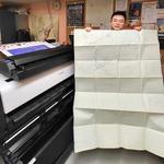
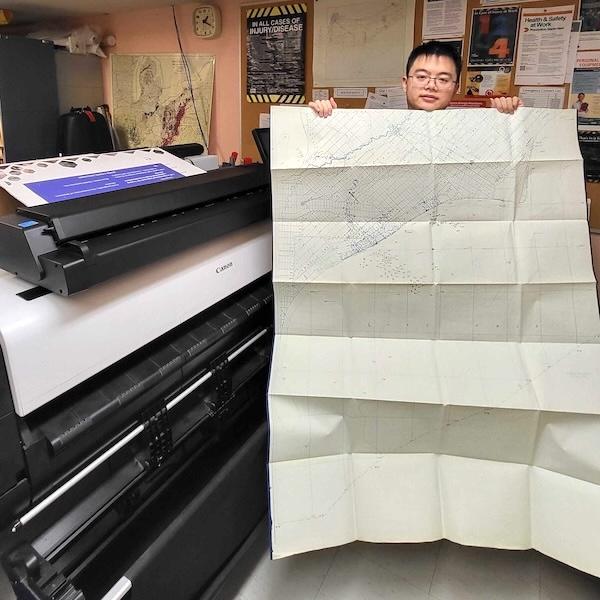
Connor: The OGSR Library’s large format scanner is an
invaluable tool in supporting our preservation and digitization efforts. Most recently, it’s been utilized in scanning a collection of donated historical maps and geological cross sections.
There are a wide range of formats including paper maps, trace sheets, transparent overlays, linen-backed documents, and mounted boards. The scanner is 36 inches wide, but for larger documents we can carefully
scan them in sections or fold them to obtain a full capture without damaging the originals.
The scanner can capture in full colour or grey-scale, and by adjusting image settings such as colour balance and contrast we’re often able to remedy faded ink and worn details. Delicate documents are handled with care, using leader sheets or light repairs to safely guide them through the scanner.
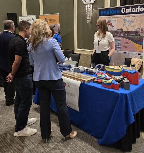
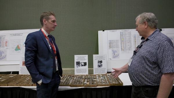
Brian: Maps at the library can contain a wide range of data on them including well locations, pools, roadways, and contours. Most of them are donations from various organization or individuals. One of our most recent donations contains over 500 maps across 19 boxes.
Once scanned, maps will be converted into geospatial data formats that could
support well identification in Ontario. Using QGIS’s georeferencer tool, scans are converted into GeoTIFF files which include location data that can be used to place them inside of GIS software. This process involves placing matching control points between the scanned maps and our base datasets so QGIS can accurately align select features. Features we use for georeferencing need to be relatively static over time as these maps can be quite old. Useful features include lots, concessions, tract and
block boundaries, railways, and roads. With the scans accurately placed in QGIS, the data on the historical maps can be digitised to a shape file, creating a searchable and analyzable resource to be utilized further.
Melissa: The final step in transitioning the physical map data into a virtual data set is digitising the data points. To digitise the map data, you start by creating a point shapefile
in QGIS and establishing the appropriate attribute fields to contain the information. It is important to consider what information you would like to collect, what information is available, and what information is required by the overall project objectives when creating attribute fields.
Establishing metadata rules for the dataset can provide a framework for field creation and maintenance. These
rules will determine which data fields are required, if there are any optional fields, the names of the fields, what information goes into the fields, the field data type, the format/unit that information is displayed in, and what entries are acceptable. Once the metadata rules are established, you can begin entering new data points. By reviewing the georeferenced map in QGIS and finding a data point that hasn’t been mapped yet, you then create a new point in the shapefile. With each new point
you create, all available information is entered according to the metadata requirements. This process is then repeated until all the map points on a scanned map are completed.
The library would like to thank the Geological Survey of Canada and the Ministry of Natural Resources for their collaboration and for providing the opportunity to preserve these valuable
materials.